uavs

Here Comes the Drone

Field notes from Bihar, 2023.

As the sun set after another day of fieldwork, we returned to our accommodations. I recounted the day's events while transferring media. We spent the morning in the field, followed by a quick lunch, and then returned to the field. Later in the evening, we prepared for an upcoming workshop with the forest department. Our days in sunny Bihar this February had been exciting.

Our day was indeed full of action, conducting aerial transects to estimate gharials at our field sites along the riverbanks of the Gandak. We scanned the waters intently, hoping to catch a glimpse of life beneath the surface. The splashes and movements in the water kept us on edge, wondering if it was a dolphin or something else entirely. Moving to another site on the north bank, we got started on our drone transects, and that's when things took an unexpected turn – a buffalo nearly charged us! The adrenaline rush was real, but we pushed through, even laughing, completing our tasks and moving on to another location to observe dolphins. During our time on this site, we counted four gharials and a solitary dolphin, while also spotting an enigmatic stork.

Evading a curious buffalo on field-site.

After wrapping up our fieldwork, we returned to charge our drones and have a quick lunch. Our tasks for the day weren't done yet – we were headed to another site near our accommodations for mapping and conducting bathymetry tests soon after. Bathymetry tests involve measuring the depth of water bodies, in this case, of the river. By initiating the flying of the drones over the same river channel, our objective was to ascertain whether RGB drones could provide any information regarding the river’s bathymetry.

Once the media we had gathered were transferred, we set off for our next site. Though the plan didn't unfold exactly as anticipated, the unexpected offered new opportunities. The survey boat was unable to go around the sandbar as intended. Instead, we flew the drone following the boat's path to take pictures at frequent intervals along the same route. This was a way to conduct simultaneous surveys using two different techniques: not only exploring the presence of dolphins but also comparing methods used.

Survey boat as seen from the aerial drone.

The integration of drone technology has repeatedly demonstrated its potential in conservation efforts. Drones' capabilities to swiftly and comprehensively survey areas can reshape how researchers and conservationists approach their work. High-resolution imagery captured by drones works to bridge the gap between traditional survey methods and modern technology, enhancing data accuracy and efficiency. For those of us fortunate enough to witness the impact of drones on conservation firsthand, tangible feelings of excitement and curiosity emerge.

It was during this flight that the true excitement around drones became evident. As the drone took to the sky, a group of children gathered around, captivated by the spectacle. Their excitement was contagious, as they curiously identified the drone and spun imaginative stories about its purpose, whilst mistaking my hand-held camera for a CCTV! In a sense these robotic ‘toys’ facilitated a more accessible dialogue about wildlife.

Children taking turns viewing from a pair of binoculars, whilst the project team conducts a mapping mission from the banks of the river.

The stunning illustrations of local wildlife prepared by the GCA and Madras Crocodile Bank shared by Tarun Nair as part of his presentation to the forest department.

The evening was one of light chatter and marvelling at the rich diversity of this region. A glimpse of the stunning illustrations of local wildlife, compiled by Tarun Nair as part of his presentation to the forest department, served as a reminder of the beauty we were working to protect.

The excitement and curiosity surrounding drone technology for conservation are undeniable. With each passing day, more researchers and conservationists turn to drones, gaining insights into our natural world. Being a part of this field is a privilege, and I'm excited about the future and the positive impact drones can have on conservation.

Mudflats to Mangroves

‘Tyācī sarva khāraphuṭīcī jamīna | It's all mangroves now.’ 


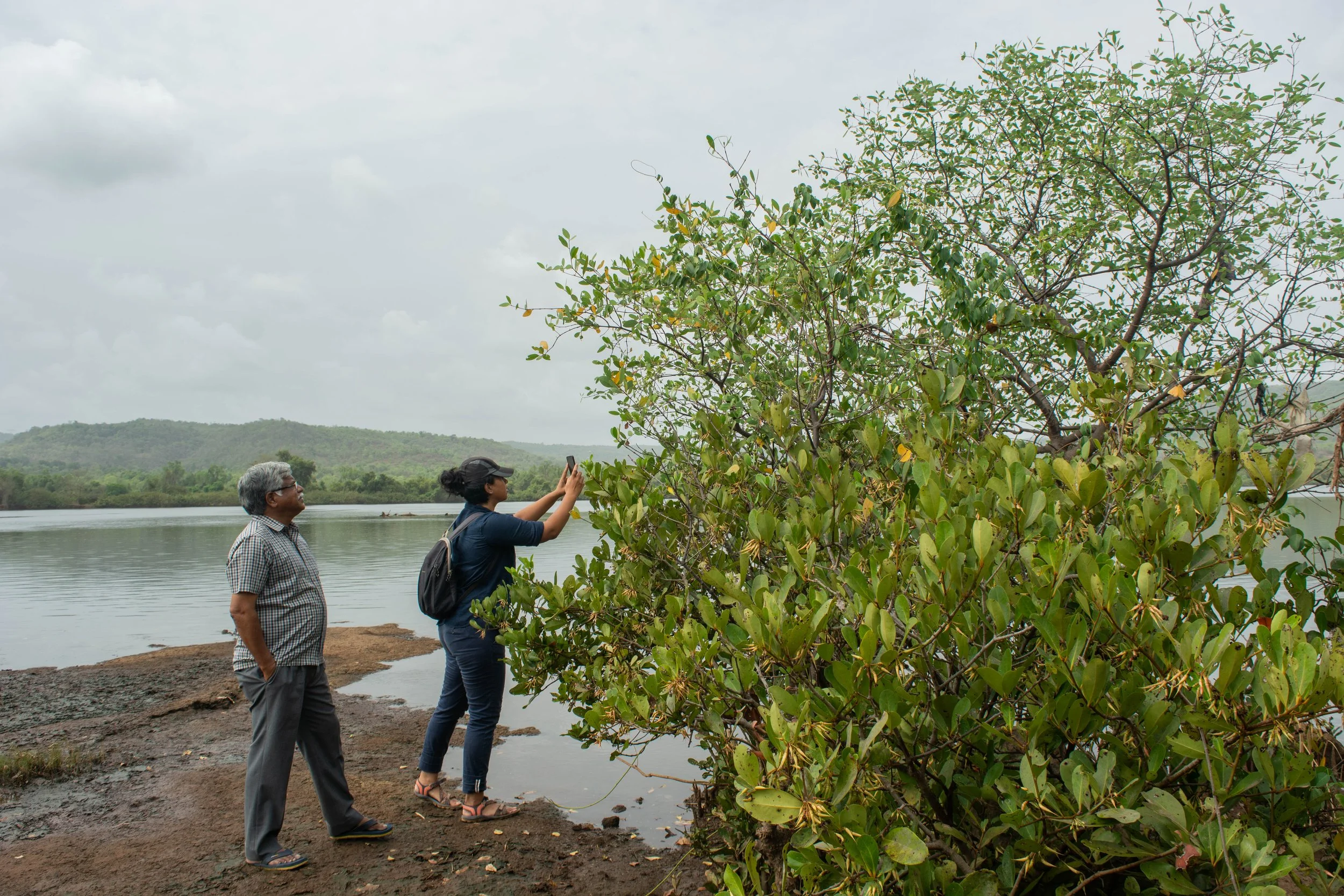
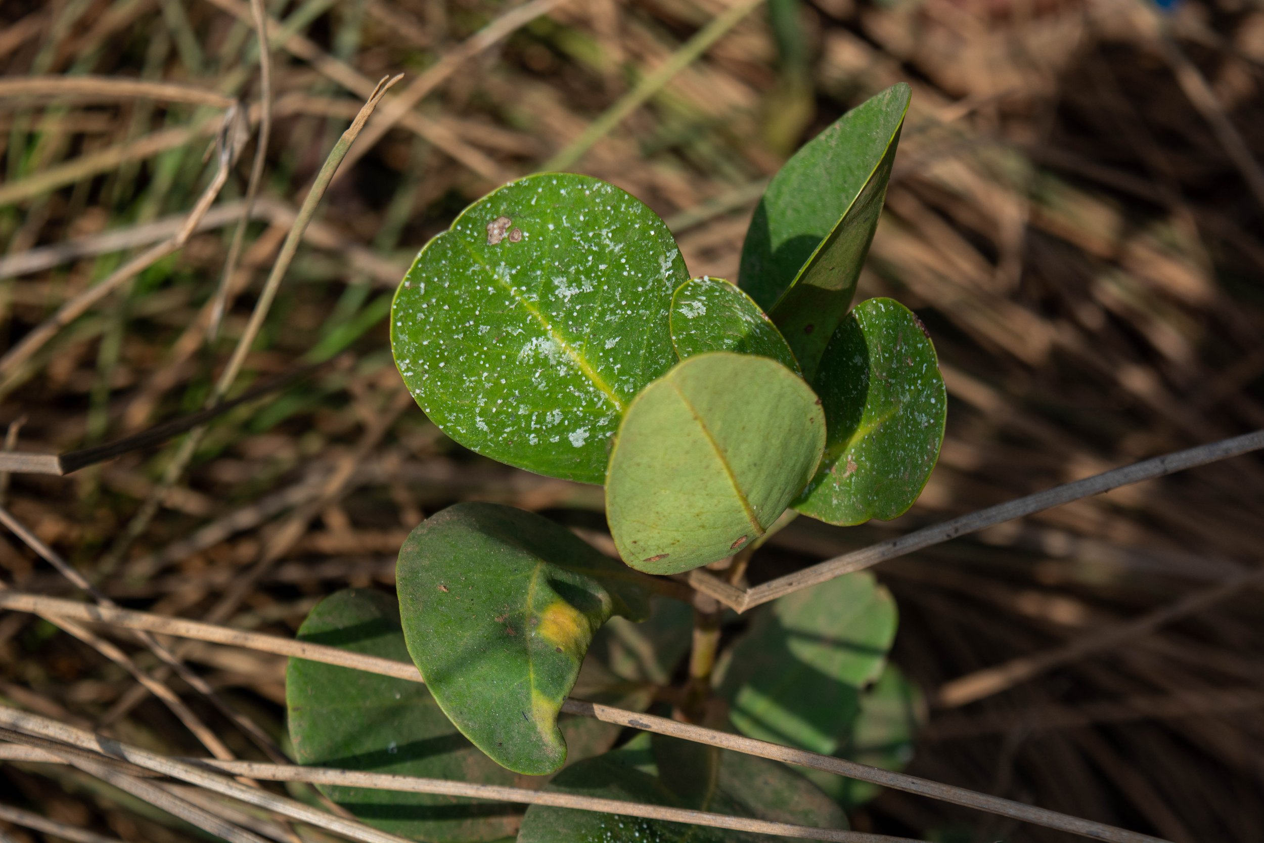
Growing where land and water meet, mud collected around the tangled mangrove roots, with shallow mudflats surrounding them. Patches of mangroves alongside the river were pointed out to us by our guide, an elder from the village, with the repeated observation – ‘it’s all mangroves now’ – as we walked on the river banks of the Savitri in Maharashtra.

We conducted this field trip in May 2022, with our collaborators Farmers for Forests (F4F) and EcoNiche to test a pilot model that encourages mangrove regeneration on fallow land unsuitable for agriculture.

Mangrove presence in Raigad, Maharashtra

Mangroves are found in tropical and subtropical latitudes, growing in slow-moving waters that allow sediments to accumulate. All species of the mangrove plant produce fruits, seeds, and seedlings that float in the oceans before taking root in fresh, brackish water. Muck builds up around the seedling’s roots, forming the surface for mudflats. In a few years, as the trees grow, the land area surrounding them also increases, growing an ecosystem around themselves. Because of their ability to act as carbon sinks, mangroves are often acknowledged as a compelling nature-based solution (NbS) to fight climate change. In November 2021, TfW and EcoNiche pitched a project that was selected for WRI’s Land Accelerator Grant which is aimed at business programmes to restore degraded forests and farmlands. Focusing on mangrove and seagrass conservation, the project, named the Reimagining Coasts Initiative, made it to the top 3% of nearly 500 applicants and won the innovation grant. Through this grant, we explored possible mangrove conservation and plantation in rural Maharashtra with our collaborators Farmers for Forests (F4F) who work in the area, and are familiar with local stakeholders. 

These villages on the river banks are within 30 to 50 km of the Arabian sea. Farming practices here evolved to include the raising of bunds to prevent saline backflow into the fields from the river. Community construction and maintenance of these bunds allowed agriculture to develop in the region. However, in present times, these bunds have collapsed from lack of maintenance due to the dwindling of the farming community. As per the elders of the community, a variety of factors, such as the search for a better quality of life, different career options and monetary benefit, to name a few, have led to the younger generation migrating to urban centres. At this point, the population of the village consists primarily of senior citizens. The resulting increase in salination has rendered parts of these lands unsuitable for agriculture and has seen the natural return of mangroves. This makes this an interesting site to investigate mangrove restoration and conservation.

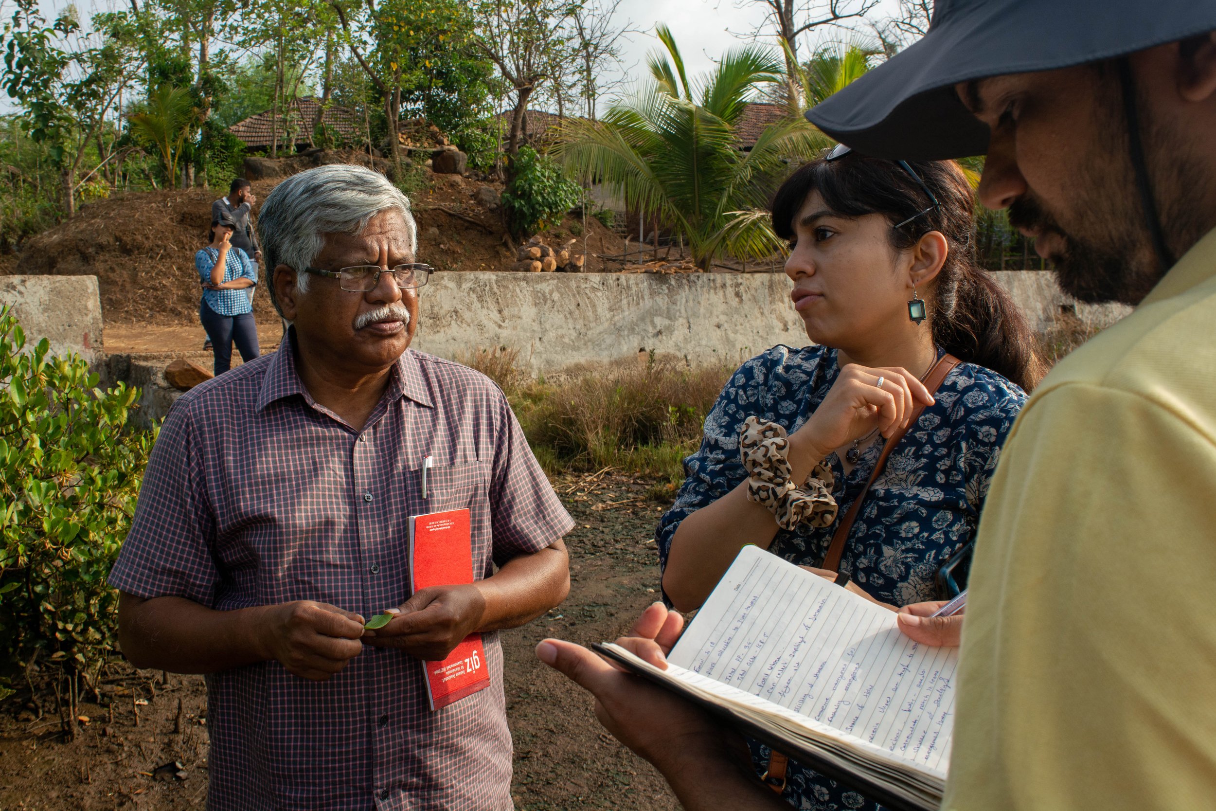
Team members interacting with an interested landowner to verify site location.

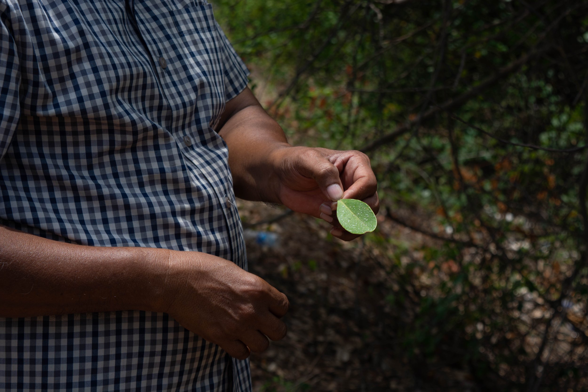
For their projects, the current model by F4F begins with the establishment of a dialogue with landowners in the region who may be interested in plantation or restoration on their land, in return for financial benefits. In this case, they were exploring restoration of mangroves, a new endeavour for them. Our field trip began with discussions with landowners and the village sarpanch, who had prior engagement with F4F. We were also joined by Dr. V. Selvam, an authority on mangroves in India. Accompanied by village elders, we walked through the village, to the edge of the river bank; to trace the path of salinity in their lands. This process helped us identify the main channels and breaks in bunds, while understanding the extent of salinity-induced features. Dr. Selvam guided us with information on the mangrove ecosystem flora while identifying the mangrove family and sub-varieties, while we took copious notes. We carried out photo-documentation of the species, while simultaneously listing their presence manually by noting scientific names, common names and local names. 

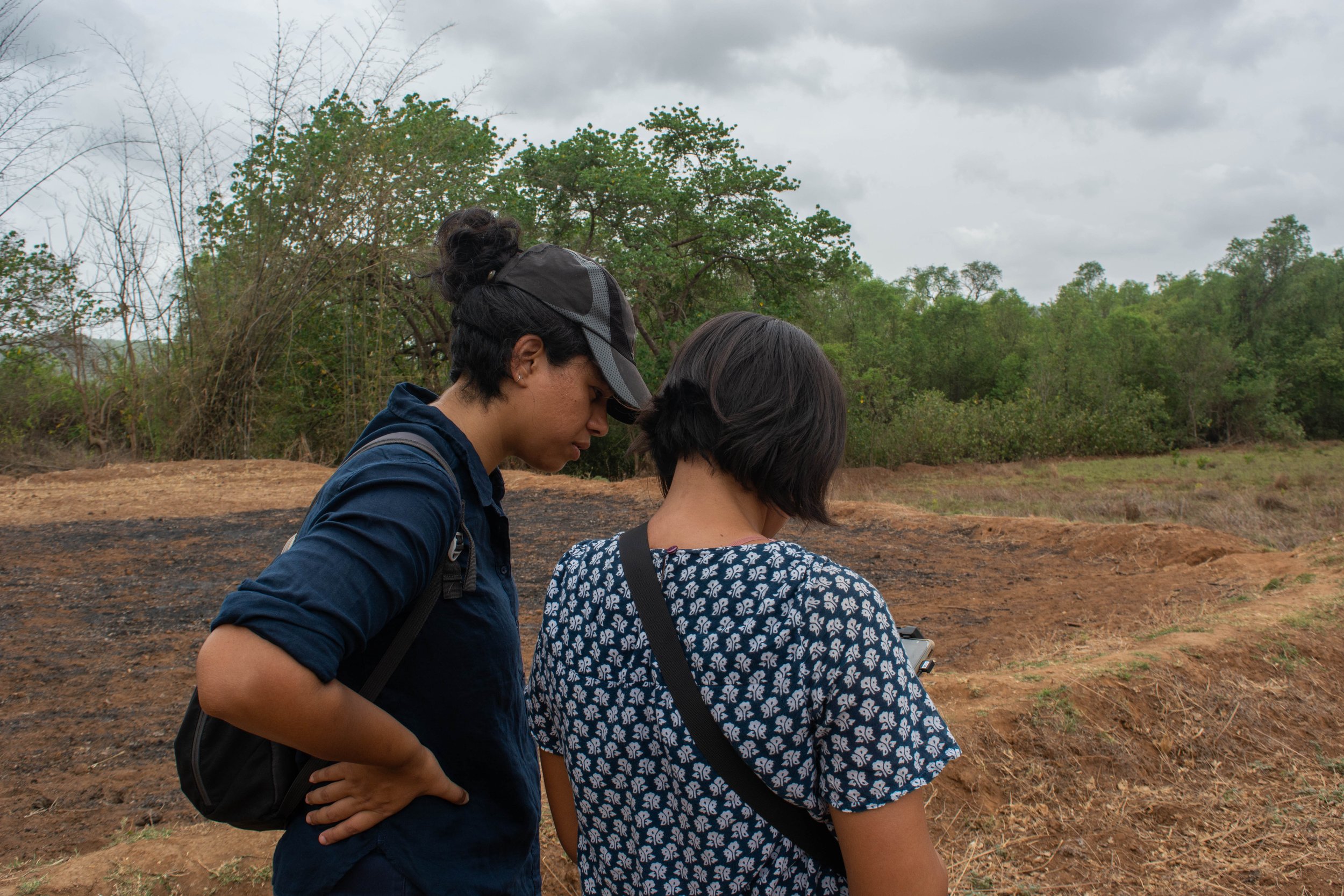
This exercise was repeated in every site we visited during this field visit. We also used our Uncrewed Aerial Vehicle (UAV) to aerially survey potential sites for mangrove restoration. The aerial imagery collected was used to discuss the land that landowners were interested in inducting into our project. This was a task that would have taken longer and been far more taxing if our surveys were restricted to the ground alone. Alternatively, using satellite or land survey based maps, the precision and understanding of the decision making may have been affected.

In the weeks following the field trip, we found that some policy blocks prevented us from seeing the project through to implementation. However, it has opened an avenue for us to explore and work towards for the future, and in other regions.


A combination of data gained from the ground, coupled with remote monitoring offers new opportunities to monitor nature-based solutions (NbS). However, standard operating procedures for carrying out such surveys, with information on the methods and tools, require further development. We are actively engaged in this journey to refine techniques for using this data– to inclusively plan and effectively monitor restoration efforts.

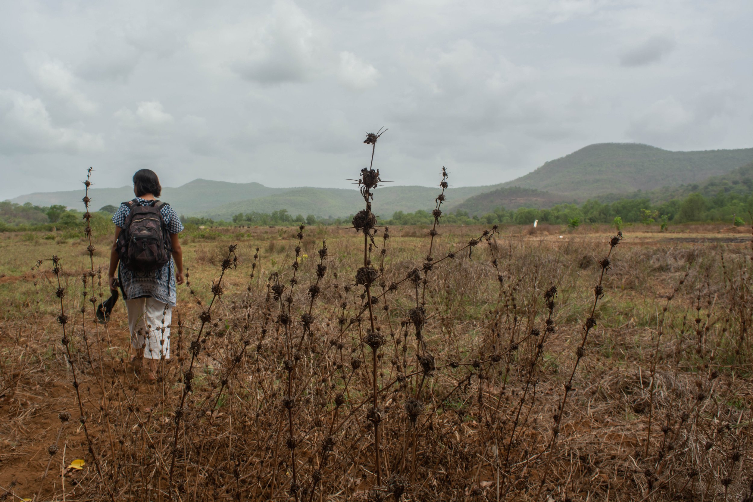
Presence of halophytic weed in a potential site for mangrove forestation.

Globally, there is a growing tendency towards ramping up the use of nature-based solutions. Enhancing ecosystems on the whole and addressing social concerns while generating environmental, economic, and societal value, NbS can help restore damaged ecosystems and carry out conservation efforts. These efforts ultimately have net positive impact, both locally and globally, benefitting the climate.

Anatomy of an Unsuccessful Project: The Tiger and the Thermal Camera

Early in October, a former colleague and current field biologist with one of our NGO partners called me, and when I didn’t answer, sent me a message. “Hi. Trying to contact you for some help. Please call me when you are free”. It was Ashtami, the 8th day of Durga Puja, and I was on leave in Calcutta, visiting puja pandals across the city. We take our holidays at TfW quite seriously, and amidst all the festivities, unable and unwilling to take a call, I asked him to send me a voice note or an email.

The email arrived. “Hope this email finds you well. This is to inform you that a tiger has killed two people in Valmiki Tiger Reserve [The only Tiger Reserve in Bihar]. These incidents happened on the fringe area of forest and sugarcane fields. Bihar Forest Department is trying to capture this animal using box trap cages and chemical immobilization method. Forest department has placed rescue teams and also installed several trap cages. It's difficult to locate the animal in the sugarcane field. We would need a drone with IR/thermal camera to locate the animals. Is it possible for you to visit and assist the rescue team of the forest department in tracking and locating the tigers in the sugarcane field?”

This sort of request is familiar to us; we’ve managed field operations for a similar project in Uttar Pradesh in 2017, and know of numerous other similar projects across India. However, at this point in time, we do not own our own drone+thermal camera. Aside from the prohibitive cost (~INR 6 lakhs), our core function as an organisation is not to respond to emergencies, but to help our partners amplify their conservation impact. However, receiving this request almost made me feel guilty about not acquiring our own drone+thermal camera.

However, It turned out that there was already a drone + thermal camera in the field, but with some software issues. It was now Dashami, the final day of Durga Puja. I took some time out before the day started to provide trouble-shooting advice via text messages. I was later informed that they were not able to get this drone to work.

The next day, with both Durga Puja and my holidays over, another former colleague at the same organisation messaged me: “Can you help with drone services there or get someone else who can on an emergency basis.” The message continued with the news that a young girl had been killed that morning, and that it was only a matter of time before the Forest Department would need to shoot the tiger dead. Locating the tiger was of the utmost importance, either to tranquilise it or to kill it, ideally before it killed more people.

As part of India Flying Labs, and with links to the Drone Federation of India, we are embedded in India’s drone industry and have access to a large network of drone operators and manufacturers. I put the word out that there was an urgent conservation mission in rural Bihar that needed at least one drone + thermal camera as well as trained operators. In terms of work, this involved numerous phone calls, emails and text messages, as well as assessments on our part of how capable we felt a drone operator was of working on this particular project. I finally spoke to someone from an organisation who, in our opinion, had the capacity to help. I gave them the full project brief, and then connected them to my former colleagues. Later the same day, the tiger killed another person.

The next evening, when I called the field biologist to check on the situation and how he was, he said, “Not good”. The tiger had killed a mother and her pre-teen son early in the morning, and had been shot dead during a Forest Department operation in the afternoon. This particular tiger, designated a man-eater and posthumously identified as the three-year old male T104, had killed between 9 and 12 people (there are conflicting reports), with four confirmed kills in its last three days alive. The impact of his actions on Bihar’s tiger conservation efforts will manifest in the future, and they are unlikely to be positive in any way. It is unlikely that these recent events have helped convince local communities around Valmiki Tiger Reserve that tiger conservation is in their best interests.

I wasn’t in the field for this project; my role was purely to network and connect people who believed that they needed drone services urgently with those who would possibly be able to provide it. In the end, matters escalated rapidly, and concluded before additional resources were allocated. I’m too removed from the situation to assess whether a working drone + thermal camera would have helped locate the tiger earlier, preventing the later human deaths. The fact remains that we’ll never know; many people, and a tiger, are now dead.

Note: The email and text exchanges detailed have been edited to maintain the senders’ anonymity.