From the field

Here Comes the Drone

Field notes from Bihar, 2023.

As the sun set after another day of fieldwork, we returned to our accommodations. I recounted the day's events while transferring media. We spent the morning in the field, followed by a quick lunch, and then returned to the field. Later in the evening, we prepared for an upcoming workshop with the forest department. Our days in sunny Bihar this February had been exciting.

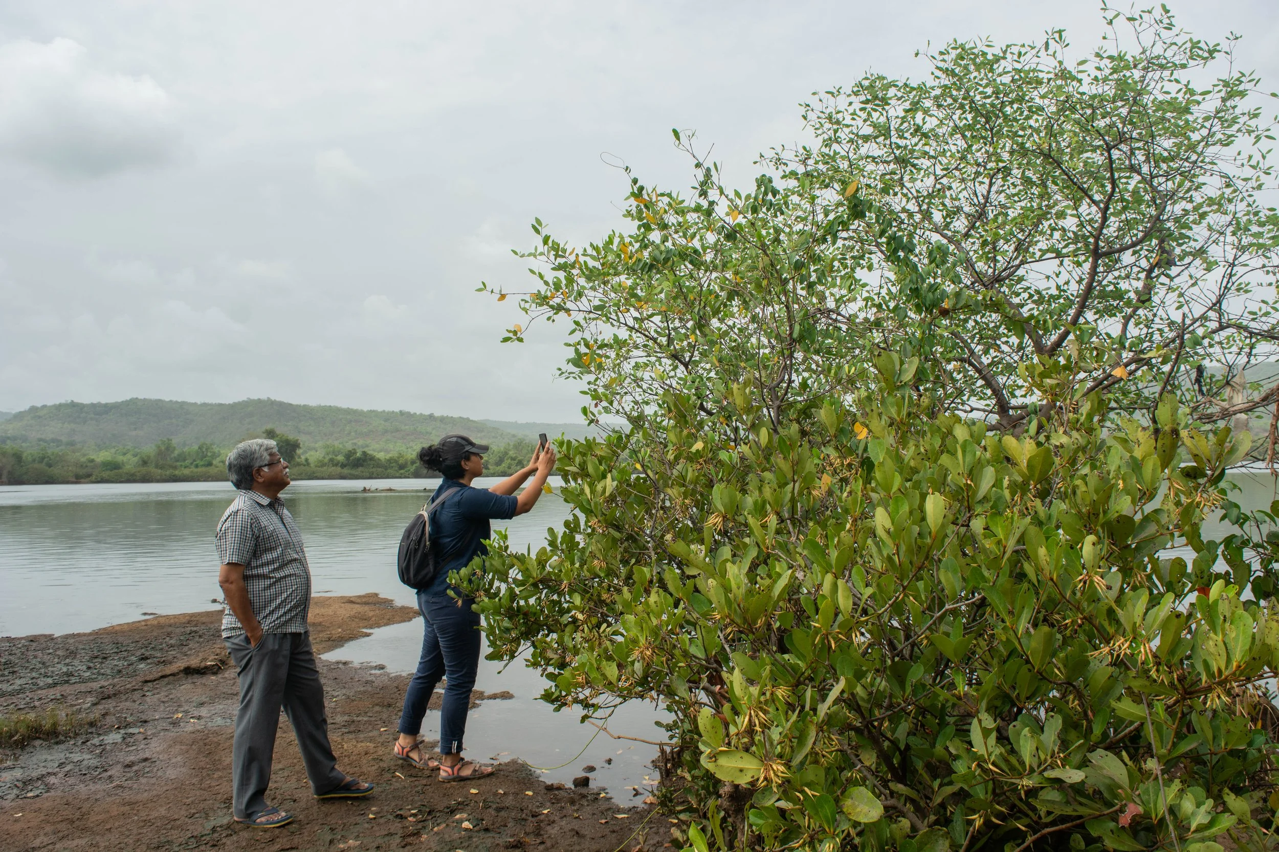
Our day was indeed full of action, conducting aerial transects to estimate gharials at our field sites along the riverbanks of the Gandak. We scanned the waters intently, hoping to catch a glimpse of life beneath the surface. The splashes and movements in the water kept us on edge, wondering if it was a dolphin or something else entirely. Moving to another site on the north bank, we got started on our drone transects, and that's when things took an unexpected turn – a buffalo nearly charged us! The adrenaline rush was real, but we pushed through, even laughing, completing our tasks and moving on to another location to observe dolphins. During our time on this site, we counted four gharials and a solitary dolphin, while also spotting an enigmatic stork.

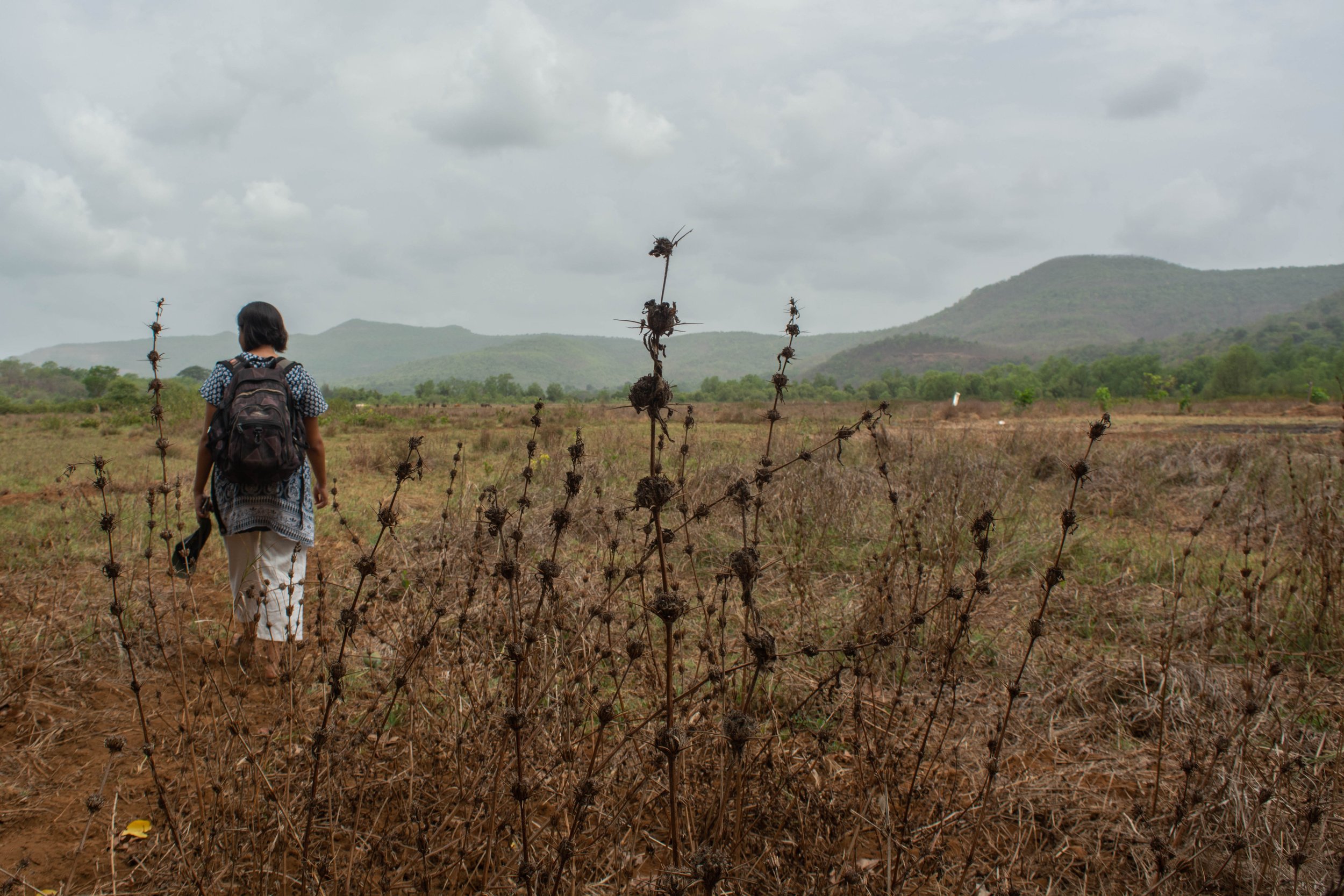
Evading a curious buffalo on field-site.

After wrapping up our fieldwork, we returned to charge our drones and have a quick lunch. Our tasks for the day weren't done yet – we were headed to another site near our accommodations for mapping and conducting bathymetry tests soon after. Bathymetry tests involve measuring the depth of water bodies, in this case, of the river. By initiating the flying of the drones over the same river channel, our objective was to ascertain whether RGB drones could provide any information regarding the river’s bathymetry.

Once the media we had gathered were transferred, we set off for our next site. Though the plan didn't unfold exactly as anticipated, the unexpected offered new opportunities. The survey boat was unable to go around the sandbar as intended. Instead, we flew the drone following the boat's path to take pictures at frequent intervals along the same route. This was a way to conduct simultaneous surveys using two different techniques: not only exploring the presence of dolphins but also comparing methods used.

Survey boat as seen from the aerial drone.

The integration of drone technology has repeatedly demonstrated its potential in conservation efforts. Drones' capabilities to swiftly and comprehensively survey areas can reshape how researchers and conservationists approach their work. High-resolution imagery captured by drones works to bridge the gap between traditional survey methods and modern technology, enhancing data accuracy and efficiency. For those of us fortunate enough to witness the impact of drones on conservation firsthand, tangible feelings of excitement and curiosity emerge.

It was during this flight that the true excitement around drones became evident. As the drone took to the sky, a group of children gathered around, captivated by the spectacle. Their excitement was contagious, as they curiously identified the drone and spun imaginative stories about its purpose, whilst mistaking my hand-held camera for a CCTV! In a sense these robotic ‘toys’ facilitated a more accessible dialogue about wildlife.

Children taking turns viewing from a pair of binoculars, whilst the project team conducts a mapping mission from the banks of the river.

The stunning illustrations of local wildlife prepared by the GCA and Madras Crocodile Bank shared by Tarun Nair as part of his presentation to the forest department.

The evening was one of light chatter and marvelling at the rich diversity of this region. A glimpse of the stunning illustrations of local wildlife, compiled by Tarun Nair as part of his presentation to the forest department, served as a reminder of the beauty we were working to protect.

The excitement and curiosity surrounding drone technology for conservation are undeniable. With each passing day, more researchers and conservationists turn to drones, gaining insights into our natural world. Being a part of this field is a privilege, and I'm excited about the future and the positive impact drones can have on conservation.

Mudflats to Mangroves

‘Tyācī sarva khāraphuṭīcī jamīna | It's all mangroves now.’ 


Growing where land and water meet, mud collected around the tangled mangrove roots, with shallow mudflats surrounding them. Patches of mangroves alongside the river were pointed out to us by our guide, an elder from the village, with the repeated observation – ‘it’s all mangroves now’ – as we walked on the river banks of the Savitri in Maharashtra.

We conducted this field trip in May 2022, with our collaborators Farmers for Forests (F4F) and EcoNiche to test a pilot model that encourages mangrove regeneration on fallow land unsuitable for agriculture.

Mangrove presence in Raigad, Maharashtra

Mangroves are found in tropical and subtropical latitudes, growing in slow-moving waters that allow sediments to accumulate. All species of the mangrove plant produce fruits, seeds, and seedlings that float in the oceans before taking root in fresh, brackish water. Muck builds up around the seedling’s roots, forming the surface for mudflats. In a few years, as the trees grow, the land area surrounding them also increases, growing an ecosystem around themselves. Because of their ability to act as carbon sinks, mangroves are often acknowledged as a compelling nature-based solution (NbS) to fight climate change. In November 2021, TfW and EcoNiche pitched a project that was selected for WRI’s Land Accelerator Grant which is aimed at business programmes to restore degraded forests and farmlands. Focusing on mangrove and seagrass conservation, the project, named the Reimagining Coasts Initiative, made it to the top 3% of nearly 500 applicants and won the innovation grant. Through this grant, we explored possible mangrove conservation and plantation in rural Maharashtra with our collaborators Farmers for Forests (F4F) who work in the area, and are familiar with local stakeholders. 

These villages on the river banks are within 30 to 50 km of the Arabian sea. Farming practices here evolved to include the raising of bunds to prevent saline backflow into the fields from the river. Community construction and maintenance of these bunds allowed agriculture to develop in the region. However, in present times, these bunds have collapsed from lack of maintenance due to the dwindling of the farming community. As per the elders of the community, a variety of factors, such as the search for a better quality of life, different career options and monetary benefit, to name a few, have led to the younger generation migrating to urban centres. At this point, the population of the village consists primarily of senior citizens. The resulting increase in salination has rendered parts of these lands unsuitable for agriculture and has seen the natural return of mangroves. This makes this an interesting site to investigate mangrove restoration and conservation.

Team members interacting with an interested landowner to verify site location.

For their projects, the current model by F4F begins with the establishment of a dialogue with landowners in the region who may be interested in plantation or restoration on their land, in return for financial benefits. In this case, they were exploring restoration of mangroves, a new endeavour for them. Our field trip began with discussions with landowners and the village sarpanch, who had prior engagement with F4F. We were also joined by Dr. V. Selvam, an authority on mangroves in India. Accompanied by village elders, we walked through the village, to the edge of the river bank; to trace the path of salinity in their lands. This process helped us identify the main channels and breaks in bunds, while understanding the extent of salinity-induced features. Dr. Selvam guided us with information on the mangrove ecosystem flora while identifying the mangrove family and sub-varieties, while we took copious notes. We carried out photo-documentation of the species, while simultaneously listing their presence manually by noting scientific names, common names and local names. 

This exercise was repeated in every site we visited during this field visit. We also used our Uncrewed Aerial Vehicle (UAV) to aerially survey potential sites for mangrove restoration. The aerial imagery collected was used to discuss the land that landowners were interested in inducting into our project. This was a task that would have taken longer and been far more taxing if our surveys were restricted to the ground alone. Alternatively, using satellite or land survey based maps, the precision and understanding of the decision making may have been affected.

In the weeks following the field trip, we found that some policy blocks prevented us from seeing the project through to implementation. However, it has opened an avenue for us to explore and work towards for the future, and in other regions.


A combination of data gained from the ground, coupled with remote monitoring offers new opportunities to monitor nature-based solutions (NbS). However, standard operating procedures for carrying out such surveys, with information on the methods and tools, require further development. We are actively engaged in this journey to refine techniques for using this data– to inclusively plan and effectively monitor restoration efforts.

Presence of halophytic weed in a potential site for mangrove forestation.

Globally, there is a growing tendency towards ramping up the use of nature-based solutions. Enhancing ecosystems on the whole and addressing social concerns while generating environmental, economic, and societal value, NbS can help restore damaged ecosystems and carry out conservation efforts. These efforts ultimately have net positive impact, both locally and globally, benefitting the climate.

The Guardian of Mangar Bani

One of the wonderful opportunities we have at TfW is our collaboration with Sanctuary Asia on their Mud on Boots project. We speak to grantees to explain TfW’s mission, and if our work can build on their projects in any way, we find ways to collaborate. We have connected with amazing practitioners through this program - one such grantee is Sunil Harsana. While on a visit to Delhi for work, we were able to visit his field site and meet him in person in November 2021 so we could better understand his work.

I was eager to see the sacred grove in Mangar Bani. It’s not often that I get to visit new places close to where I grew up. Even so, I didn’t expect to be as surprised as I was. While I had been to Mangar before, I hadn’t visited the sacred grove, which was just 40 minutes from my house. The taxi driver and I were both in for a surprise. Neither of us could believe where we ended up this short drive later. 

Sunil Harsana in Mangar Bani.

The next few hours were a beautiful lesson on Mangar Bani, as Sunil unravelled the landscape with as much ease as the maps he was carrying. We stood staring at the rolling Aravallis in every direction, and I couldn’t believe the scale of what I was seeing. As we walked along, I heard Sunil’s descriptions of the species we saw, and of how unique and precious the ecosystem was. He went on to explain the cultural significance of the grove, the historical temples in juxtaposition to the current land pressures in the area. The scientific, cultural and political contexts were laid out for me to better understand the land with which I was being acquainted.

Layered  in this narrative was Sunil’s own story. Of how his life is deeply rooted here, from his ancestry and childhood to his future. His family, his work, his aspirations - everything is intertwined with Mangar Bani, much like the root systems of the Dhok trees that it supports. The majority of this dry, deciduous forest is made up of Dhok (Anogeissus pendula) trees. Dhok is a slow-growing tree taking up to 10 years to reach a height of 5ft. It begins its life cycle by clinging to the rocky slope, acting as a substrate for groundwater recharge. This craggy hillside of Haryana Aravallis is covered with Dhok in various stages of its life cycle, from grass-like substrate form to very tall trees. The tree with its tiny leaves and crooked trunk yields extremely hard timber that is used for making tool handles.

Sunlight filtering through the foliage.

In the face of immense land pressure and legal loopholes, Sunil is dedicated to the long-term protection of this vulnerable landscape. He is gathering data and evidence about the biodiversity of the area and increasing the appreciation for its ecological value amongst both urban and rural youth. The area is  a High-Biodiversity Zone with over 30 native tree species  and  100 native shrubs and herbs which provide shelter to the wildlife, rare birds and part of the Northern Aravalli leopard corridor. Mangar Bani and its surroundings also form a water catchment and groundwater recharge zone, while sequestering carbon and releasing oxygen to the National Capital Region (NCR). Sunil’s vision is to demonstrate the value of the ecosystem and secure legal protection for it in order to ensure its long term preservation. 

Sunil with maps of the region.

Sunil is unwavering in his efforts to raise awareness about the sacred grove. He began campaigning for the protection of Mangar Bani over a decade ago, and founded the Mangar Eco Club in 2015. At the Eco Club, community youth work to increase awareness about Mangar Bani and its potential among local and urban children. The members spend the monsoon months planting seeds of native species in the degraded areas, from those collected in the grove in summer. They also go birdwatching, build check dams, participate in clearing the grove and litter, and document the biodiversity of the hills.

The discovery of Palaeolithic cave-paintings in May 2021 revived calls for the forest to be protected. Activists and environmentalists like Chetan Agarwal, who have studied the forests and flora of Mangar Bani extensively have demanded that the Government should designate it as a sanctuary or national park for permanent conservation. 

Sunil has rare clarity about his vision of Mangar and his work. This made collaborating with him really straightforward. He knew the gaps in his work and we figured out what was possible for us to do to help him address these gaps. One of the challenges he was facing was with data collection - he wanted a way to document evidence of wildlife presence when they were conducting routine walks, even when formal wildlife surveys were not taking place. We worked with him to adapt his existing flora and fauna surveys into Open Data Kit (ODK) surveys. This should also make data entry and storage more efficient. Additional information about this  can be found in a previous blogpost by my colleague.

Dhok trees thriving in the Haryana Aravallis.

It was satisfying to play a small part in Sunil’s vision for Mangar. It was a privilege to get a peek into his world, and receive a glass of fresh chhach (buttermilk) from his mother. We intend to continue visiting and collaborating to build a  future where I hope the Aravallis are replete with Dhok, owls, children and leopards.

Sunil is part of the Coexistence Fellows 2022- Cohort, working with Nitesh Kaushik on understanding leopard ecology and enhancing human-leopard coexistence in the Aravallis of south Haryana.